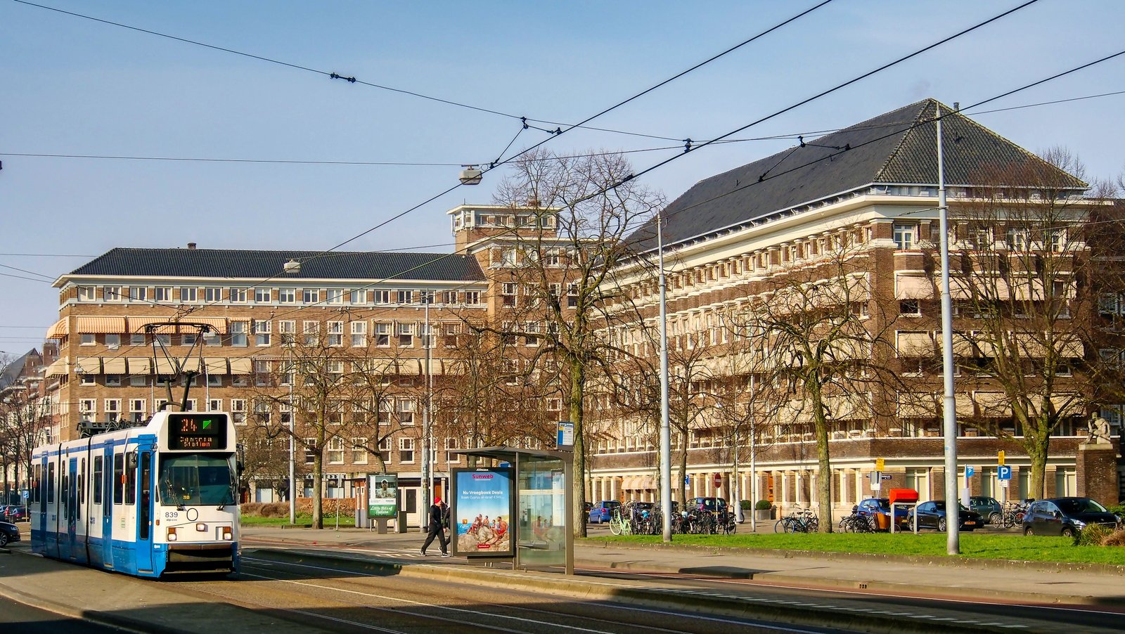
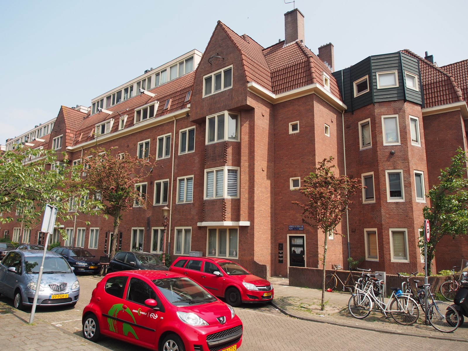
De Dageraad on Henriëtte Ronnerplein, designed by Michel de Klerk and Piet KramerAlf van Beem, Wikimedia Commons (public domain)
01
The story
Around 1900 Amsterdam was bursting at the seams. The city had more than half a million inhabitants, and many working-class families lived in cramped, damp homes. The Housing Act of 1901 finally gave councils and housing associations the means to do something about it.
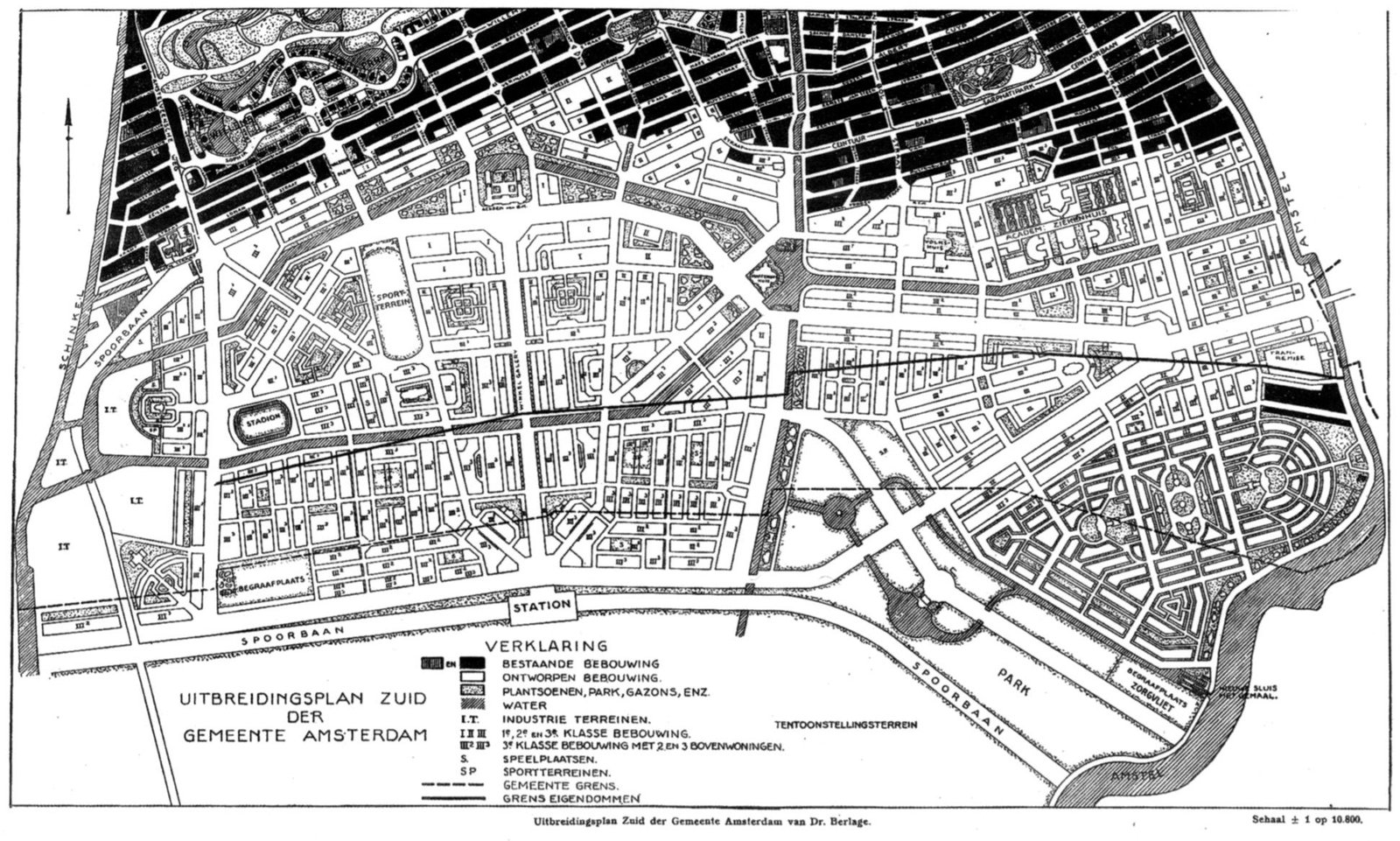
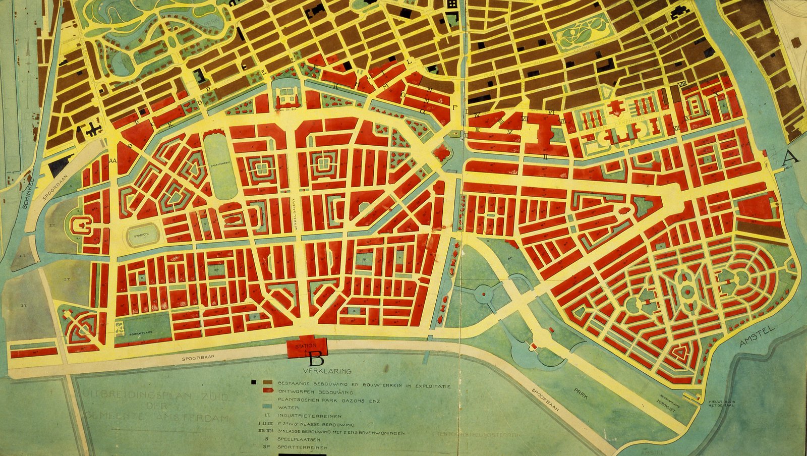
For the land south of the city, between the Amstel and the Schinkel, the council asked the architect Hendrik Petrus Berlage for a plan. His first design, with winding streets in a park-like landscape, was approved in 1905 but turned out to be too expensive and impractical. In 1915 he drew a second, far more urban plan: broad avenues, squares and long, closed housing blocks around inner gardens. In 1917 the city council adopted it.
Berlage's second plan for Amsterdam-Zuid, 1915 H.P. Berlage, Wikimedia Commons (public domain)
Berlage set out the main lines. The street fronts were filled in by young architects of the Amsterdam School, among them Michel de Klerk, Piet Kramer and Margaret Staal-Kropholler, the first woman to practise as an architect in the Netherlands. With brick, undulating facades, little towers and decorative brickwork they turned ordinary rented flats into small works of art.
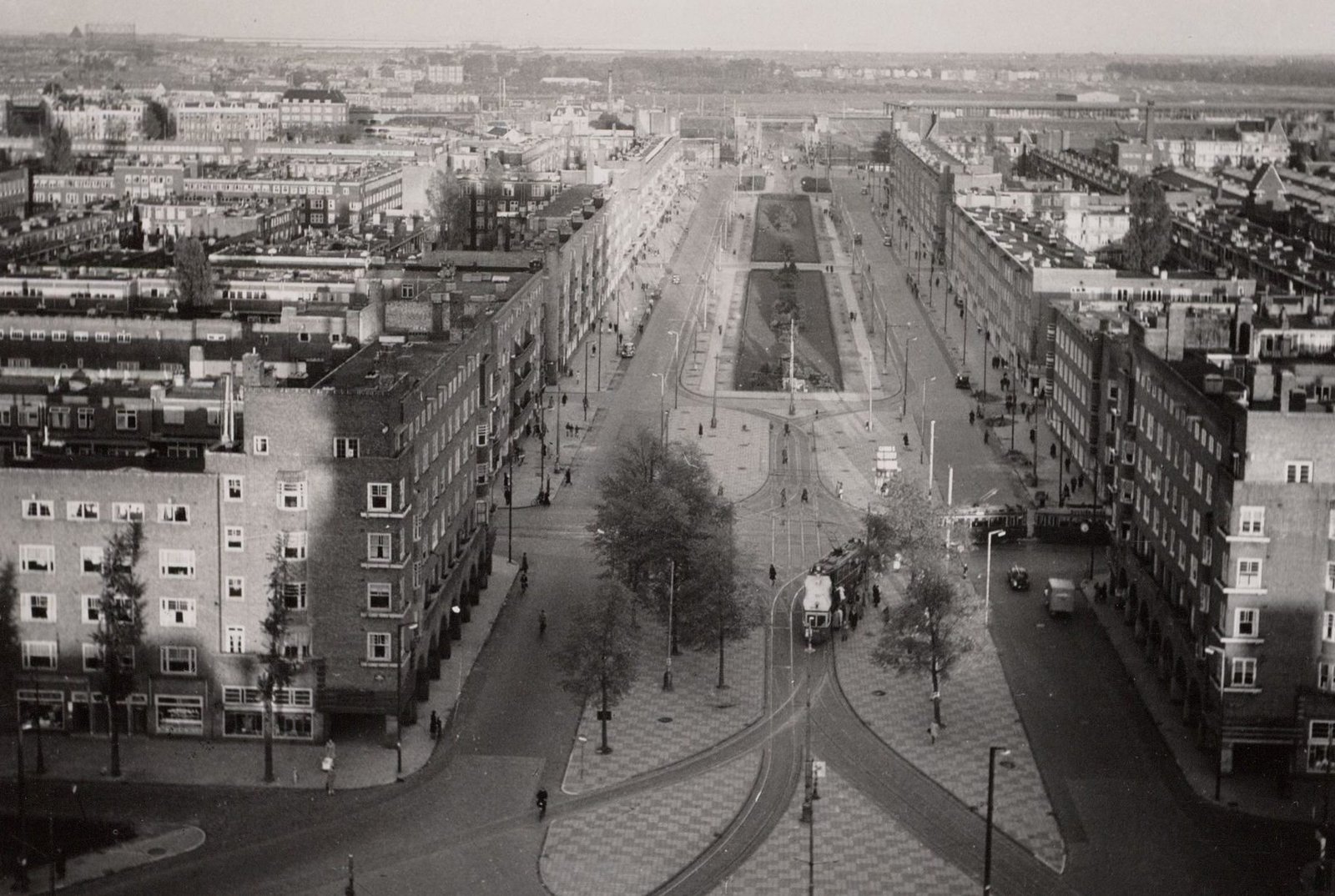
This is how the Rivierenbuurt, the Apollobuurt, the Stadionbuurt and a large part of the Nieuwe Pijp came about. Walk through them today and you still see the plan almost everywhere: in the straight avenues, the squares where the streets meet and the endless red brick.
1917Plan Zuid adopted by the city council
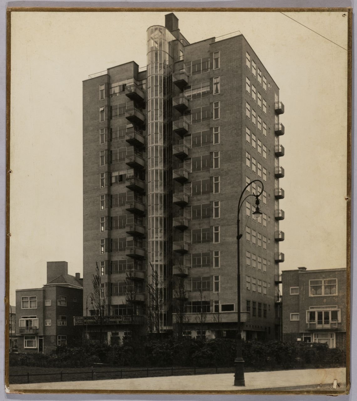
12storeys in the Wolkenkrabber, the first high-rise in Amsterdam
220bridges by Piet Kramer were actually built
17,000Jewish residents lived in the Rivierenbuurt in 1940
02
The plan
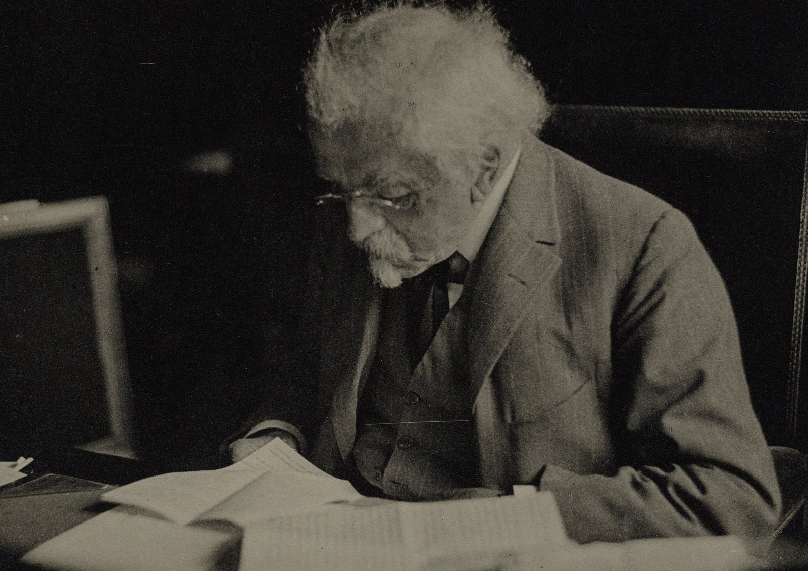
Berlage had never designed a city when he got the commission in 1900. He read up, above all in the book by the Viennese planner Camillo Sitte on building cities according to artistic principles. A handful of big ideas came out of it, and you can still see them today.
Monumental in layout, picturesque in detail.
H.P. Berlage on his first plan
1
The city as a work of art
Not endless straight streets of separate houses, but a city you experience as a sequence of spaces: avenues, squares, vistas. Every street had to lead somewhere.
2
The block as a whole
A whole block becomes one design, with a continuous street front and a shared inner garden. Not the individual house but the whole counts: a gesture towards the collective.
3
Two grand axes
One axis runs from a new bridge across the Amstel to Victorieplein. The other runs along Minervalaan to a new station in the south. The rest of the district is arranged around them.
4
Squares with a landmark
Where the avenues meet, there is a square. And at the key points a public building or a tower, so you can see from afar where you are heading.
5
Homes for everyone
Villas, upper flats with their own front door and walk-up apartment blocks side by side. Three quarters of the homes became walk-up flats, built by housing associations and private developers.
6
Green and water
Rows of trees, green strips and canals are part of the plan. Berlage drew not only the streets but also the planting.
03
Planned and built
Plan Zuid was designed twice, and even the second plan was not built exactly as Berlage drew it. Many ideas were realised, some turned out differently, and a few only came decades later.
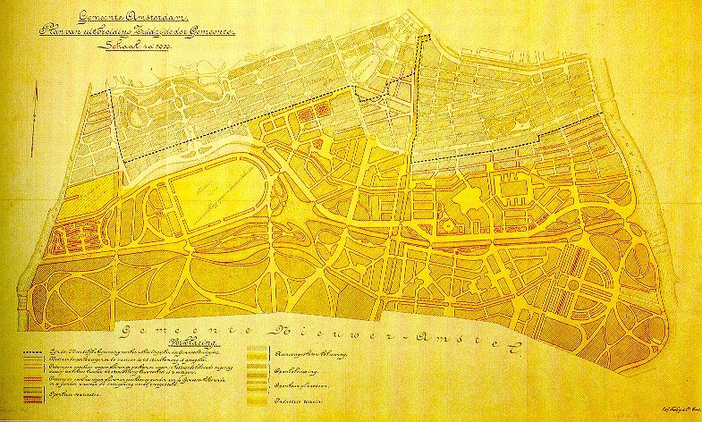
1904The first planWinding water, small squares, a large park and open building along the Amstel. The council adopted it in January 1905, but it was never carried out: the city did not yet own the land and the plan was too expensive. By 1914 only a few blocks stood in the north-east, around Karel du Jardinstraat and Tolstraat.H.P. Berlage, collectie Stadsarchief Amsterdam, Wikimedia Commons (public domain)1915The second planOn 6 October 1914 the Public Works department asked for a new design. Berlage delivered it on 27 March 1915: avenues, squares and long closed blocks, with a railway and a new station on the southern edge. On 25 and 26 October 1917 the city council debated the plan and adopted it.Gemeente Amsterdam, Wikimedia Commons (public domain)
PlannedWhat came
Two grand axes
From a new Amstel bridge to Victorieplein, and along Minervalaan to the south.
→
BuiltBuilt
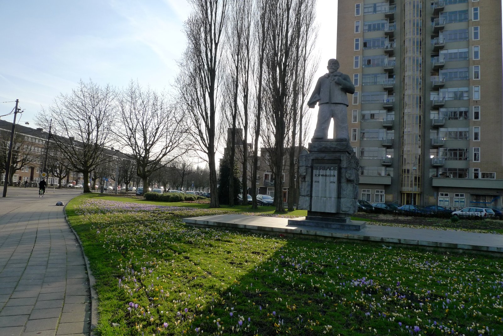
The Berlagebrug opened in 1932, with the Wolkenkrabber as the landmark on Victorieplein. Minervalaan became the stately avenue Berlage had in mind.
The Zuiderstation
A station at the end of Minervalaan, as the finishing point of the grand axis.
→
LaterOnly in 1978
Amsterdam Zuid station opened in December 1978, roughly where Berlage had placed it in 1915. The Zuidas business district later grew up around it.
A teaching hospital
A large university hospital, in the middle of the new district.
→
DifferentDe Dageraad
On that site De Klerk and Kramer built their famous workers' housing.
Grand public buildings
An academy of fine arts, an artists' house, a people's hall and a Catholic church, as landmarks along the avenues.
→
DifferentHotels
Almost none were built. After the war, hotels appeared on those sites: the Hilton instead of the academy, the Apollo Hotel instead of the artists' house and the Okura instead of the people's hall.
A garden city by the Amstel
In the south-east, low houses of two storeys with a roof, after a 1915 competition design by J.F. Repko.
→
DifferentLong housing blocks
The garden city never came. From the late 1920s long housing blocks went up here: the southern part of the Rivierenbuurt.
Stone quays along the Amstelkanaal
An urban canal with hard stone quay walls.
→
DifferentGreen banks
The canal got green, sloping banks. Anyone walking along it today will probably not call that a loss.
One style for the whole district
Brick, tiled roofs and wooden frames: the city guarded the unity.
→
DifferentModernists sidelined
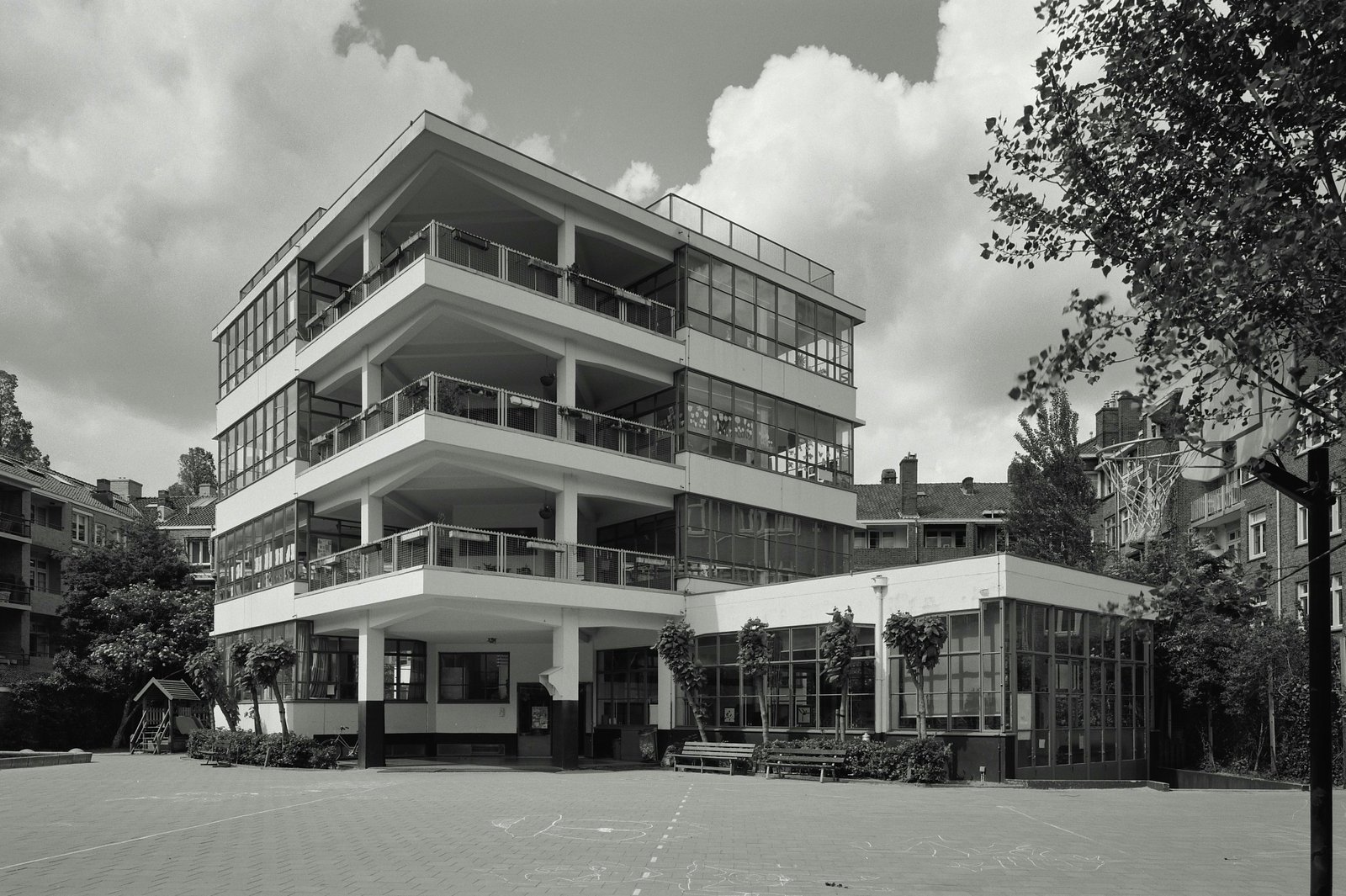
Architects of the New Building movement, with concrete and glass, hardly got a look in. Duiker's Open Air School was tucked away in an inner courtyard.
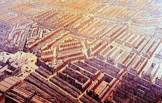
How the Public Works department imagined the Zuiderstation and Plan Zuid Publieke Werken, Wikimedia Commons (public domain)04
Timeline
1900
The commission
The city asks Berlage to draw up a plan for the land south of the city.
1901
The Housing Act
Councils and housing associations get money and rules to build decent, affordable homes.
1905
The first plan
In January the council adopts Berlage's plan with winding streets. It turns out to be too expensive and is never carried out.
1915
The second plan
On 27 March Berlage delivers a new, more urban plan: avenues, squares and closed blocks.
1917
Adopted
On 25 and 26 October the city council debates Plan Zuid and adopts it. Building can begin.
1922
De Dageraad opens
In July alderman De Miranda opens the housing complex by De Klerk and Kramer, built for the socialist housing association De Dageraad.
1923
De Klerk dies
Michel de Klerk dies on his 39th birthday. Piet Kramer becomes the leading figure of the Amsterdam School.
1930
The Open Air School
On Cliostraat Jan Duiker builds a school of glass and concrete: modernism arrives.
1932
Two landmarks
J.F. Staal's Wolkenkrabber is finished, and on 28 May Berlage's bridge across the Amstel opens.
1934
Berlage dies
Berlage dies in The Hague, aged 78.
1942
The occupation
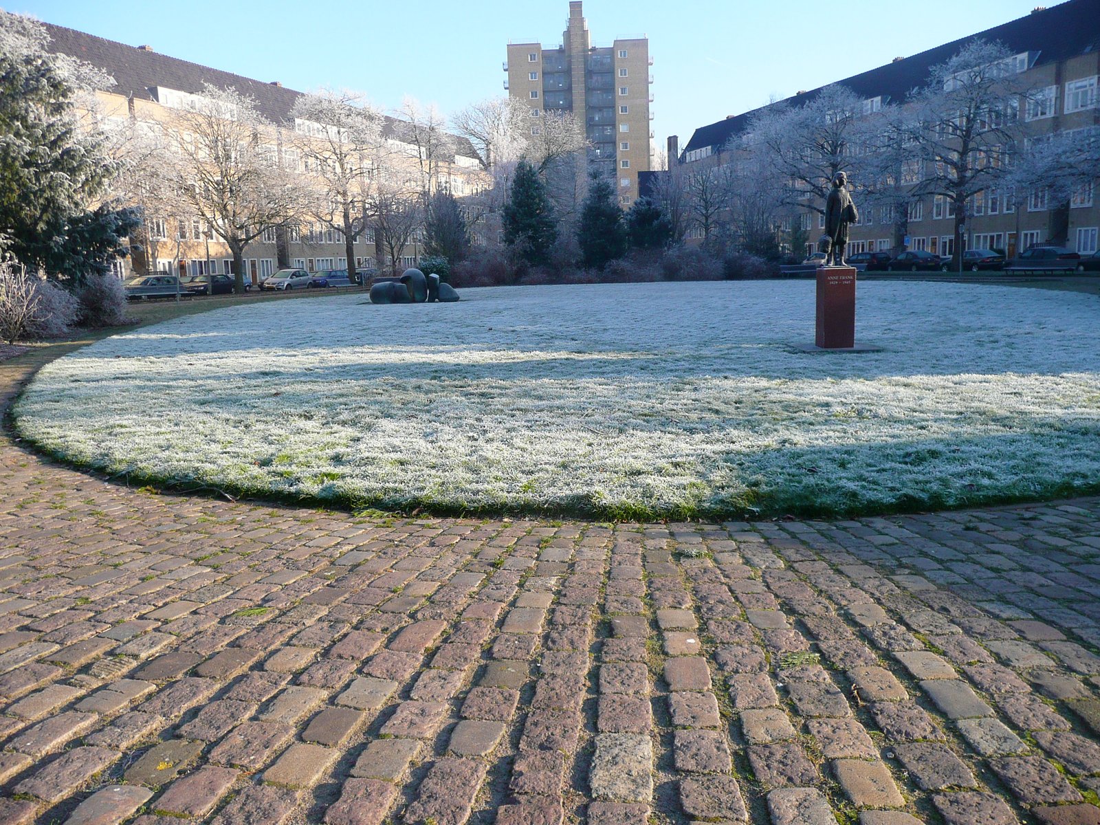
Some 17,000 Jewish Amsterdammers live in the Rivierenbuurt. About 13,000 of them will not survive the war. In July the Frank family goes into hiding.
After 1945
New names
Daniël Willinkplein becomes Victorieplein. The avenues that meet there are named after Stalin, Churchill and Roosevelt. In 1956 Stalinlaan becomes Vrijheidslaan.
1978
A station after all
In December Amsterdam Zuid station opens, roughly where Berlage had drawn his Zuiderstation.
05
The people
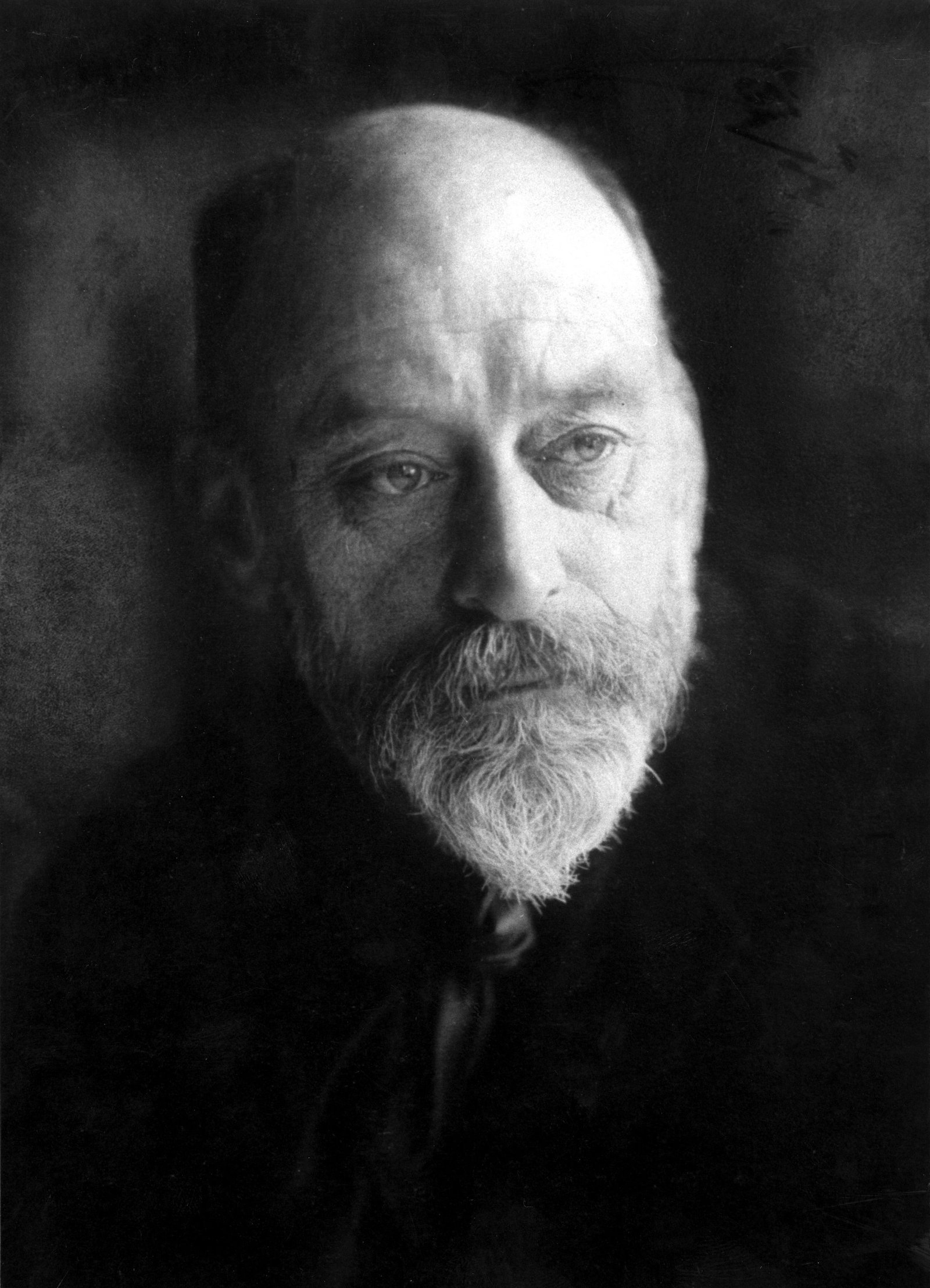
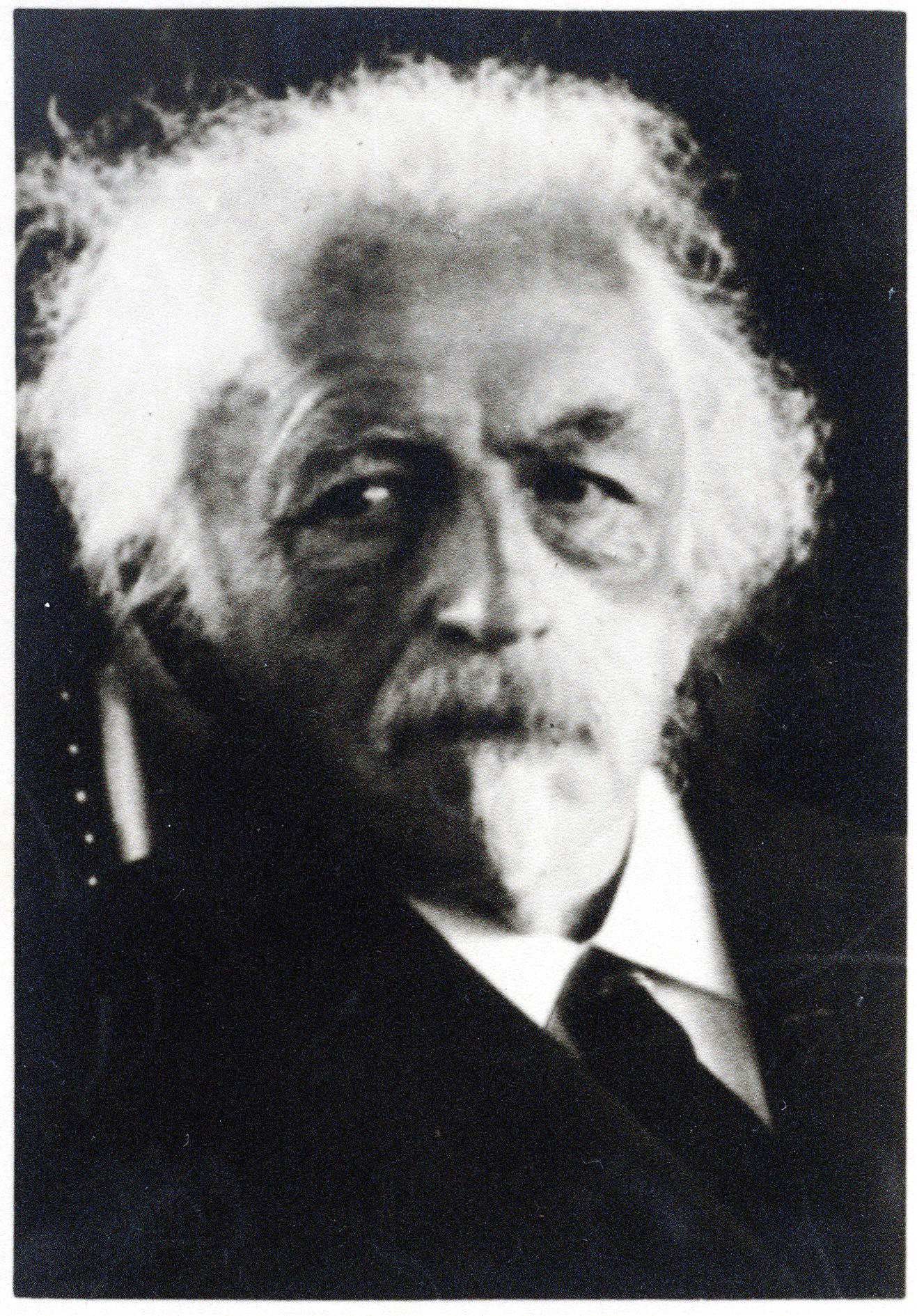
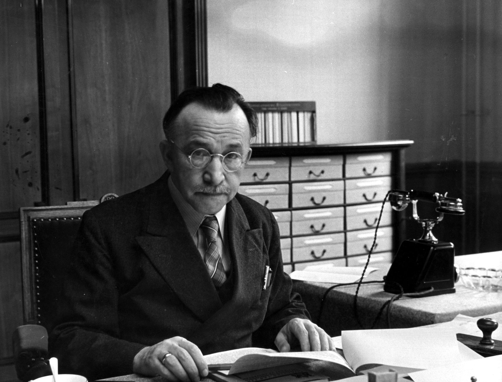
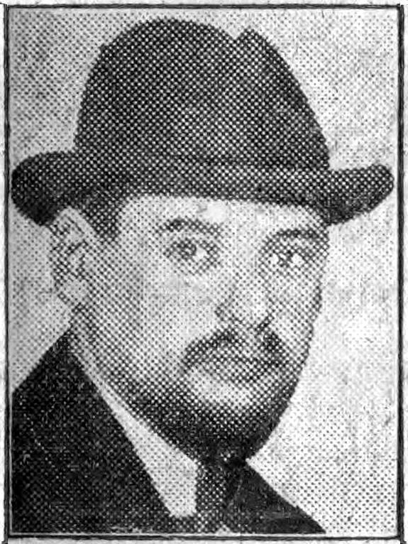
A plan is nothing without people who want it, pay for it and build it. Behind Plan Zuid stood administrators who made the city build for itself, and designers who turned ordinary homes into works of art.
Built for the socialist housing association De Dageraad. De Klerk and Kramer made the facades undulate and the corners curve, with little towers as exclamation marks.
 1
 2
 3
 4
 5
 6